| ようこそ、ゲストさん |
|

書籍ランキング
-

1. First Aid for the USMLE Step 1, 2024 34th ed. paper 848 p. 24
企画品(フェアー中)です -

5. Deep Learning hardcover XX, 649 p. 23
企画品(フェアー中)です

に同じ書籍を注文されています。
再度ご注文されますか?
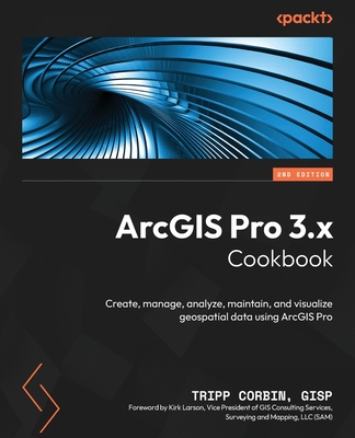
ArcGIS Pro 3.x Cookbook - Second Edition: Create, manage, analyze, maintain, and visualize geospatial data using ArcGIS Pro 2nd
著者:Gisp, Tripp Corbin
【重要事項説明】
| 1. | 手配先によって価格が異なります。 |
| 2. | 納期遅延や入手不能となる場合がございます。 |
| 3. | 海外のクリスマス休暇等、お正月等の長期休暇時期の発注は、納期遅延となる場合がございます。 |
| 4. | 天候(国内・海外)により空港の発着・貨物受入不能の発生により納期遅延となる場合がございます。 |
| 5. | 複数冊数のご注文の場合、分納となる場合がございます。 |
| 6. | 美品のご指定は承りかねます。 |
- お届けまでの予想日数: 6週間~7週間
- 在庫数:在庫なし
- 組合員価格:価格未定
- 現地価格:$46.99
- お届けまでの予想日数: 2週間~3週間
- 在庫数:115
- 組合員価格:¥8,783 (税込)
内容の説明
Leverage the powerful tools in Esri's ArcGIS Pro to perform geospatial analysis Key Features Harness the power of ArcGIS Pro to build informative maps showcasing your GIS data Analyze geospatial data through proximity, spatial statistics, and hotspot analysis Increase data entry efficiency and quality with advanced geodatabase behavior Purchase of the print or Kindle book includes a free PDF eBook Book DescriptionArcGIS Pro is Esri's newest desktop Geographic Information System (GIS) application with powerful tools for visualizing, maintaining, and analyzing data. As it replaces older platforms like ArcMap and ArcCatalog applications, users are quickly migrating to ArcGIS Pro, which features a modern ribbon interface and 64-bit processing to increase the speed and efficiency of using GIS. Written by a geospatial industry leader with 28+ years of experience, this cookbook will help existing ArcMap users transition to ArcGIS Pro and teach new users how to make the most of the powerful GIS tools it contains. After a brief refresher on ArcGIS Pro and working with projects, you'll be quickly taken through recipes for creating geodatabases and using various data formats supported by the application. You'll learn how to link external tables to enrich existing GIS datasets in ArcGIS before exploring methods for editing 2D and 3D data, and gain an understanding of how topology ensures data integrity. The last set of chapters will teach you how to enable advanced behavior in a geodatabase. After working through the recipes in this book, you'll be ready to use ArcGIS Pro as your primary desktop GIS application for maintaining, analyzing, and displaying data using its diverse toolkit. What you will learn Navigate the new ArcGIS Pro ribbon interface Create and publish 2D and 3D maps Edit data using standard tools and topology Link data together using joins, relates, and relationship classes Create a new geodatabase and validate data using domains, subtypes, attribute rules, and
登録情報
商品コード:1038440524
出版社: Packt Publishing Ltd.
出版年月:
2024/05
ISBN-10: 1837631700
ISBN-13: 978-1-83763-170-4
出版国: イギリス
装丁: paper/Kt./br.
媒体: 冊子
ページ数: 564 p.
ジャンル: センサー
一覧画面へ戻る